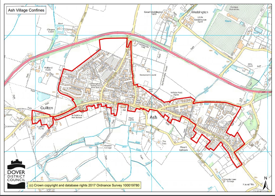
This map of the current Ash settlement boundary, also known as the Ash Village confines, has been supplied by Dover District Council. It was re-drawn in 2015 when the Dover District Local Plan was last updated. This is a planning designation.
This map of the current Ash settlement boundary, also known as the Ash Village confines, has been supplied by Dover District Council. It was re-drawn in 2015 when the Dover District Local Plan was last updated. This is a planning designation.